Vesper Peak
Permits and reservations
Outside wilderness and park boundaries, on Forest Service land. Matched from official boundaries and trail managers. Always confirm with the land manager before you go.
About the trail
Overview
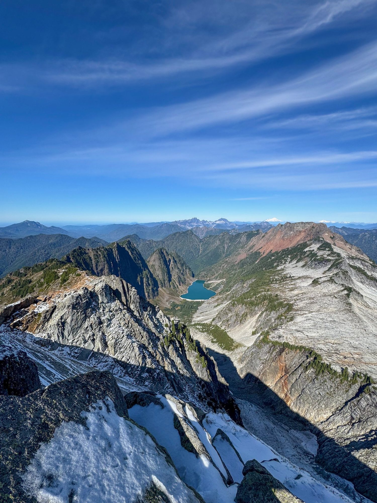
Start on the Sunrise Mine Trail off the Mountain Loop Highway. Cross Vesper Creek, climb through brush and a rock field, then grind up the steep switchbacks to Headlee Pass. Beyond the pass the trail fades into a climber's route: dip to Lake Elan's outlet, then scramble up broad granite slabs to the summit. On a clear day you look down on Copper Lake and across to Big Four, Sperry, and Morning Star.
Tips from hikers
From WTA route notes and hiker guides
- Be honest about your skills. This is a scramble, not a trail hike, and it has seen several search and rescue missions.
- Cross Vesper Creek at its narrowest point. There are no bridges.
- Watch the trail in the rock field. It is easy to lose about halfway to the pass.
- Mind rockfall on Headlee Pass. The final switchbacks are steep and loose.
- On the slabs, follow the subtle rib. Drifting into a gully means too far left. Feeling exposure means too far right. When unsure, err left.
- Skirt the late snowfield. If snow lingers below the summit, go around it on the left.
What you need
Parking and passes
Forest Service trailhead: display a Northwest Forest Pass or an interagency pass (America the Beautiful).
Buy a Northwest Forest PassGetting there
The hike starts at Sunrise Mine Trailhead. Save directions offline before you leave, since mountain roads often lose cell service.